 vesseltracker.com
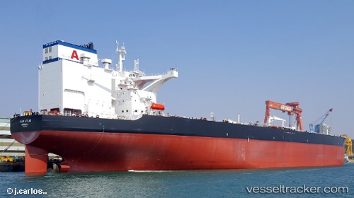
Vessel Almi Atlas IMO: 9816323, MMSI: 636017969 Crude Oil Tanker
UTC, 19.65034, 113.34295, course: 170, speed: 13.3
UTC, 19.30831, 113.35531, course: 180, speed: 14.8
2026-02-26 17:26:07 UTC, 18.80543, 113.35947, course: 177, speed: 14.6
Live AIS position:
UTC. 142 nm E of Honghai),
updated 2026-02-26 17:26:07 UTC.
Find the position of the vessel Almi Atlas on the map. The latter are known coordinates and path.
marine traffic ship tracker show on live map
The current position of vessel Almi Atlas is 18.80543 lat / 113.35947 lng. Updated: 2026-02-26 17:26:07 UTCDetails:
Last coordinates of the vessel:
UTC, 19.86770, 113.08425, course: 104, speed: 12.5UTC, 19.65034, 113.34295, course: 170, speed: 13.3
UTC, 19.30831, 113.35531, course: 180, speed: 14.8
2026-02-26 17:26:07 UTC, 18.80543, 113.35947, course: 177, speed: 14.6