 vesseltracker.com
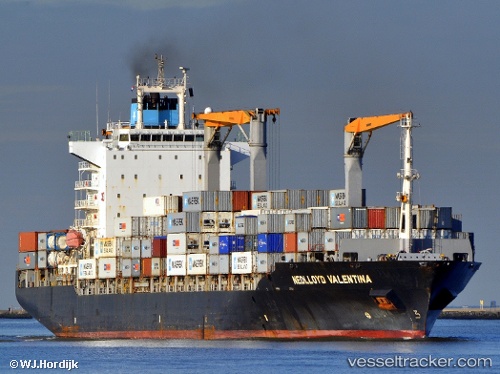
Vessel Cap Beatrice IMO: 9275062, MMSI: 636017971 Container Ship
UTC, 4.39180, 99.54364, course: 318, speed: 16.2
UTC, 4.77580, 99.19543, course: 319, speed: 15.9
2026-01-31 17:38:09 UTC, 5.02449, 98.96617, course: 319, speed: 16.2
Live AIS position:
UTC. 58 nm E of Langsa Venture FPSO),
updated 2026-01-31 17:38:09 UTC.
Find the position of the vessel Cap Beatrice on the map. The latter are known coordinates and path.
marine traffic ship tracker show on live map
The current position of vessel Cap Beatrice is 5.02449 lat / 98.96617 lng. Updated: 2026-01-31 17:38:09 UTCCurrently sailing under the flag of Liberia
Cap Beatrice built in 2004 year
Deadweight:
34317 tDetails:
Last coordinates of the vessel:
UTC, 3.98223, 99.91867, course: 314, speed: 17.8UTC, 4.39180, 99.54364, course: 318, speed: 16.2
UTC, 4.77580, 99.19543, course: 319, speed: 15.9
2026-01-31 17:38:09 UTC, 5.02449, 98.96617, course: 319, speed: 16.2