 vesseltracker.com
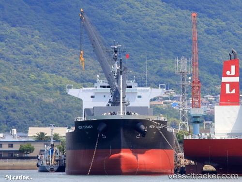
Vessel New Legacy IMO: 9804942, MMSI: 636018067 Bulk Carrier
UTC, 49.01856, -123.76138, course: 180, speed: 0
UTC, 49.01893, -123.76241, course: 158, speed: 0
2026-01-28 11:22:01 UTC, 49.01870, -123.76376, course: 128, speed: 0
Live AIS position:
UTC. Near Thetis Island),
updated 2026-01-28 11:22:01 UTC.
Find the position of the vessel New Legacy on the map. The latter are known coordinates and path.
marine traffic ship tracker show on live map
The current position of vessel New Legacy is 49.01870 lat / -123.76376 lng. Updated: 2026-01-28 11:22:01 UTCCurrently sailing under the flag of Liberia
Details:
Last coordinates of the vessel:
UTC, 49.01843, -123.76071, course: 203, speed: 0.1UTC, 49.01856, -123.76138, course: 180, speed: 0
UTC, 49.01893, -123.76241, course: 158, speed: 0
2026-01-28 11:22:01 UTC, 49.01870, -123.76376, course: 128, speed: 0