 vesseltracker.com
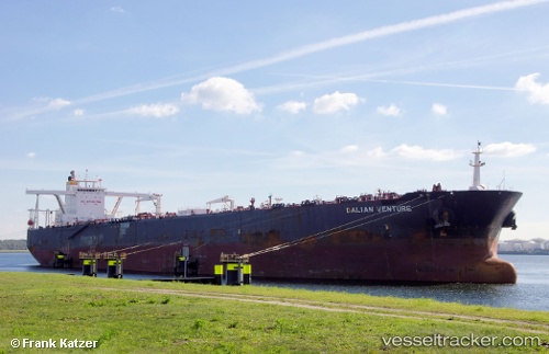
Vessel Blue Nova IMO: 9534846, MMSI: 636018114 Crude Oil Tanker
UTC, 51.97529, 3.99023, course: 78, speed: 0
UTC, 51.97529, 3.99022, course: 78, speed: 0
2026-01-28 14:01:35 UTC, 51.97529, 3.99023, course: 78, speed: 0
Live AIS position:
UTC. Near Haarlemmermeer),
updated 2026-01-28 14:01:35 UTC.
Find the position of the vessel Blue Nova on the map. The latter are known coordinates and path.
marine traffic ship tracker show on live map
The current position of vessel Blue Nova is 51.97529 lat / 3.99023 lng. Updated: 2026-01-28 14:01:35 UTCCurrently sailing under the flag of Liberia
Details:
Last coordinates of the vessel:
UTC, 51.97533, 3.99017, course: 78, speed: 0UTC, 51.97529, 3.99023, course: 78, speed: 0
UTC, 51.97529, 3.99022, course: 78, speed: 0
2026-01-28 14:01:35 UTC, 51.97529, 3.99023, course: 78, speed: 0