 vesseltracker.com
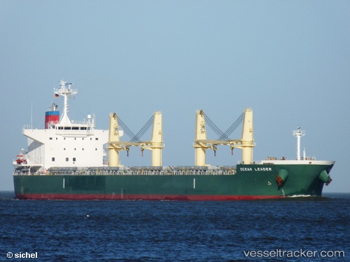
Vessel M.v. Visayas IMO: 9546992, MMSI: 636018251 Bulk Carrier
UTC, -34.38252, 25.08201, course: 70, speed: 10.7
UTC, -34.23601, 25.66111, course: 66, speed: 10.7
2026-02-01 01:40:58 UTC, -34.15868, 25.93695, course: 69, speed: 10.6
Live AIS position:
UTC. 17 nm SE of Port Elizabeth),
updated 2026-02-01 01:40:58 UTC.
Find the position of the vessel M.v. Visayas on the map. The latter are known coordinates and path.
marine traffic ship tracker show on live map
The current position of vessel M.v. Visayas is -34.15868 lat / 25.93695 lng. Updated: 2026-02-01 01:40:58 UTCDetails:
Last coordinates of the vessel:
UTC, -34.44465, 24.76190, course: 84, speed: 10.3UTC, -34.38252, 25.08201, course: 70, speed: 10.7
UTC, -34.23601, 25.66111, course: 66, speed: 10.7
2026-02-01 01:40:58 UTC, -34.15868, 25.93695, course: 69, speed: 10.6