 vesseltracker.com
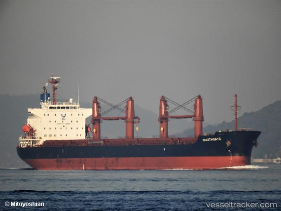
Vessel Southgate IMO: 9830161, MMSI: 636018481 Bulk Carrier
UTC, 29.50651, 139.67612, course: 286, speed: 11
UTC, 29.58176, 139.31618, course: 290, speed: 9.6
2026-02-15 15:26:21 UTC, 29.67688, 138.93459, course: 285, speed: 10.5
Live AIS position:
UTC. 232 nm NW of Omura),
updated 2026-02-15 15:26:21 UTC.
Find the position of the vessel Southgate on the map. The latter are known coordinates and path.
marine traffic ship tracker show on live map
The current position of vessel Southgate is 29.67688 lat / 138.93459 lng. Updated: 2026-02-15 15:26:21 UTCCurrently sailing under the flag of Liberia
Details:
Last coordinates of the vessel:
UTC, 29.45929, 139.88451, course: 284, speed: 10.5UTC, 29.50651, 139.67612, course: 286, speed: 11
UTC, 29.58176, 139.31618, course: 290, speed: 9.6
2026-02-15 15:26:21 UTC, 29.67688, 138.93459, course: 285, speed: 10.5