 vesseltracker.com
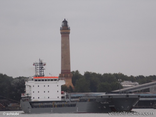
Vessel Adalady IMO: 9306421, MMSI: 636018661 General Cargo Ship
UTC, 3.55072, 84.32992, course: 264, speed: 96.7
2026-01-25 02:37:35 UTC, 3.55072, 84.32992, course: 264, speed: 96.7
Live AIS position:
UTC. 195 nm SW of Abakaliki),
updated 2026-01-25 02:37:35 UTC.
Find the position of the vessel Adalady on the map. The latter are known coordinates and path.
marine traffic ship tracker show on live map
The current position of vessel Adalady is 3.55072 lat / 84.32992 lng. Updated: 2026-01-25 02:37:35 UTCDetails:
Last coordinates of the vessel:
UTC, 3.55072, 84.32992, course: 264, speed: 96.7UTC, 3.55072, 84.32992, course: 264, speed: 96.7
2026-01-25 02:37:35 UTC, 3.55072, 84.32992, course: 264, speed: 96.7