 vesseltracker.com
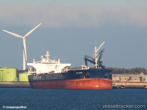
Vessel Cap Pierre IMO: 9274446, MMSI: 636018885 Crude Oil Tanker
UTC, 1.13277, 103.49317, course: 121, speed: 4.1
2026-02-16 03:38:06 UTC, 1.13277, 103.49317, course: 121, speed: 4.1
Live AIS position:
UTC. Near Nipah),
updated 2026-02-16 03:38:06 UTC.
Find the position of the vessel Cap Pierre on the map. The latter are known coordinates and path.
marine traffic ship tracker show on live map
The current position of vessel Cap Pierre is 1.13277 lat / 103.49317 lng. Updated: 2026-02-16 03:38:06 UTCCurrently sailing under the flag of Liberia
Cap Pierre built in 2004 year
Deadweight:
159083 tDetails:
Last coordinates of the vessel:
UTC, 1.13277, 103.49317, course: 121, speed: 4.1UTC, 1.13277, 103.49317, course: 121, speed: 4.1
2026-02-16 03:38:06 UTC, 1.13277, 103.49317, course: 121, speed: 4.1