 vesseltracker.com
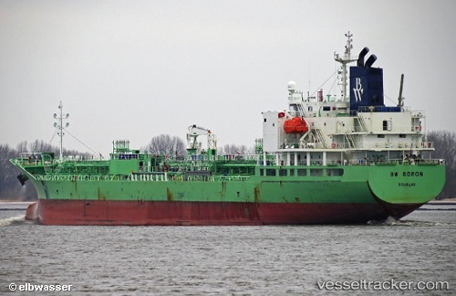
Vessel Indigo Ray IMO: 9716016, MMSI: 636019176 Chemical Oil Products Tanker
UTC, 30.01544, -90.74573, course: 275, speed: 10.4
UTC, 30.07796, -90.90396, course: 330, speed: 0
2026-02-18 07:51:10 UTC, 30.07799, -90.90397, course: 324, speed: 0
Live AIS position:
UTC. Near Welcome),
updated 2026-02-18 07:51:10 UTC.
Find the position of the vessel Indigo Ray on the map. The latter are known coordinates and path.
marine traffic ship tracker show on live map
The current position of vessel Indigo Ray is 30.07799 lat / -90.90397 lng. Updated: 2026-02-18 07:51:10 UTCCurrently sailing under the flag of Liberia
Details:
Last coordinates of the vessel:
UTC, 30.05243, -90.50106, course: 259, speed: 10.3UTC, 30.01544, -90.74573, course: 275, speed: 10.4
UTC, 30.07796, -90.90396, course: 330, speed: 0
2026-02-18 07:51:10 UTC, 30.07799, -90.90397, course: 324, speed: 0