 vesseltracker.com
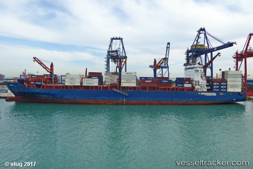
Vessel Ete N IMO: 9509126, MMSI: 636019197 Container Ship
UTC, 31.64901, 32.09641, course: -1, speed: 14.3
UTC, 31.91140, 31.71602, course: 315, speed: 14.4
2026-03-01 11:25:15 UTC, 32.14250, 31.47514, course: 319, speed: 14.5
Live AIS position:
UTC. 22 nm NW of Bnei Darom),
updated 2026-03-01 11:25:15 UTC.
Find the position of the vessel Ete N on the map. The latter are known coordinates and path.
marine traffic ship tracker show on live map
The current position of vessel Ete N is 32.14250 lat / 31.47514 lng. Updated: 2026-03-01 11:25:15 UTCCurrently sailing under the flag of Liberia
Ete N built in 2012 year
Deadweight:
41139 tDetails:
Last coordinates of the vessel:
UTC, 31.43010, 32.26924, course: -1, speed: 0.1UTC, 31.64901, 32.09641, course: -1, speed: 14.3
UTC, 31.91140, 31.71602, course: 315, speed: 14.4
2026-03-01 11:25:15 UTC, 32.14250, 31.47514, course: 319, speed: 14.5