 vesseltracker.com
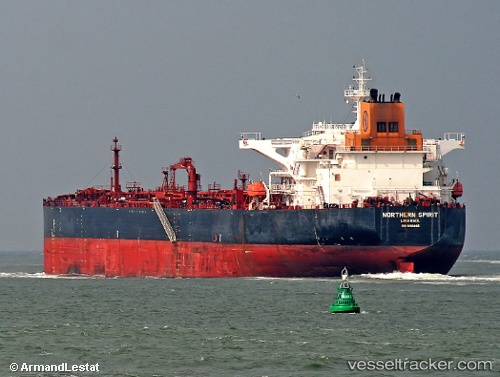
Vessel Kalahari IMO: 9410882, MMSI: 636019358 Crude Oil Tanker
UTC, 36.75753, 5.09794, course: 154, speed: 0
UTC, 36.75753, 5.09796, course: 154, speed: 0
2026-02-10 09:56:01 UTC, 36.75759, 5.09794, course: 154, speed: 0
Live AIS position:
UTC. Near Bejaia),
updated 2026-02-10 09:56:01 UTC.
Find the position of the vessel Kalahari on the map. The latter are known coordinates and path.
marine traffic ship tracker show on live map
The current position of vessel Kalahari is 36.75759 lat / 5.09794 lng. Updated: 2026-02-10 09:56:01 UTCDetails:
Last coordinates of the vessel:
UTC, 36.75753, 5.09796, course: 154, speed: 0UTC, 36.75753, 5.09794, course: 154, speed: 0
UTC, 36.75753, 5.09796, course: 154, speed: 0
2026-02-10 09:56:01 UTC, 36.75759, 5.09794, course: 154, speed: 0