 vesseltracker.com
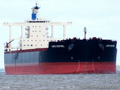
Vessel CAPE KESTREL IMO: 9767510, MMSI: 636019502
UTC, 24.16475, -49.33147, course: 53, speed: 10.5
UTC, 24.47116, -48.88342, course: 52, speed: 10.4
2026-02-16 13:13:27 UTC, 24.57518, -48.73314, course: 54, speed: 10.4
Live AIS position:
UTC. 282 nm NW of Upper Northfield),
updated 2026-02-16 13:13:27 UTC.
Find the position of the vessel CAPE KESTREL on the map. The latter are known coordinates and path.
marine traffic ship tracker show on live map
The current position of vessel CAPE KESTREL is 24.57518 lat / -48.73314 lng. Updated: 2026-02-16 13:13:27 UTCDetails:
Last coordinates of the vessel:
UTC, 24.02921, -49.53371, course: 54, speed: 10.6UTC, 24.16475, -49.33147, course: 53, speed: 10.5
UTC, 24.47116, -48.88342, course: 52, speed: 10.4
2026-02-16 13:13:27 UTC, 24.57518, -48.73314, course: 54, speed: 10.4