 vesseltracker.com
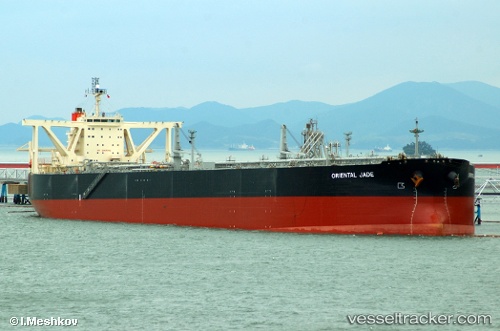
Vessel PRINCESS ALEXIA IMO: 9294305, MMSI: 636019553 Crude Oil Tanker
UTC, 25.29277, 56.57220, course: 64, speed: 0
2026-02-01 14:35:56 UTC, 25.29277, 56.57220, course: 64, speed: 0
Live AIS position:
UTC. Near Offshore Fujairah),
updated 2026-02-01 14:35:56 UTC.
Find the position of the vessel PRINCESS ALEXIA on the map. The latter are known coordinates and path.
marine traffic ship tracker show on live map
The current position of vessel PRINCESS ALEXIA is 25.29277 lat / 56.57220 lng. Updated: 2026-02-01 14:35:56 UTCCurrently sailing under the flag of Liberia
PRINCESS ALEXIA built in 2004 year
Deadweight:
306352 tDetails:
Last coordinates of the vessel:
UTC, 25.29277, 56.57220, course: 64, speed: 0UTC, 25.29277, 56.57220, course: 64, speed: 0
2026-02-01 14:35:56 UTC, 25.29277, 56.57220, course: 64, speed: 0