 vesseltracker.com
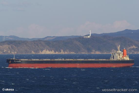
Vessel CAPE KORI IMO: 9271559, MMSI: 636019646 Bulk Carrier
UTC, 1.20877, 103.56127, course: 279, speed: 12.1
UTC, 1.40807, 103.23670, course: 318, speed: 10.8
2026-02-23 06:34:08 UTC, 1.67947, 102.85654, course: 276, speed: 11.5
Live AIS position:
UTC. 19 nm SW of Parit Raja),
updated 2026-02-23 06:34:08 UTC.
Find the position of the vessel CAPE KORI on the map. The latter are known coordinates and path.
marine traffic ship tracker show on live map
The current position of vessel CAPE KORI is 1.67947 lat / 102.85654 lng. Updated: 2026-02-23 06:34:08 UTCCurrently sailing under the flag of Liberia
CAPE KORI built in 2004 year
Deadweight:
203277 tDetails:
Last coordinates of the vessel:
UTC, 1.24104, 103.94161, course: 234, speed: 10.5UTC, 1.20877, 103.56127, course: 279, speed: 12.1
UTC, 1.40807, 103.23670, course: 318, speed: 10.8
2026-02-23 06:34:08 UTC, 1.67947, 102.85654, course: 276, speed: 11.5