 vesseltracker.com
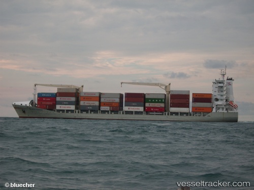
Vessel MSC Andrea F IMO: 9306275, MMSI: 636019887 Container Ship
UTC, 5.56872, 80.37746, course: 85, speed: 11.2
UTC, 5.57136, 80.62838, course: 87, speed: 10.9
2026-02-08 10:16:29 UTC, 5.57678, 81.13039, course: 84, speed: 10.2
Live AIS position:
UTC. 33 nm S of HAMBANTOTA),
updated 2026-02-08 10:16:29 UTC.
Find the position of the vessel MSC Andrea F on the map. The latter are known coordinates and path.
marine traffic ship tracker show on live map
The current position of vessel MSC Andrea F is 5.57678 lat / 81.13039 lng. Updated: 2026-02-08 10:16:29 UTCCurrently sailing under the flag of Liberia
Details:
Last coordinates of the vessel:
UTC, 5.62426, 79.92533, course: 157, speed: 13.5UTC, 5.56872, 80.37746, course: 85, speed: 11.2
UTC, 5.57136, 80.62838, course: 87, speed: 10.9
2026-02-08 10:16:29 UTC, 5.57678, 81.13039, course: 84, speed: 10.2