 vesseltracker.com
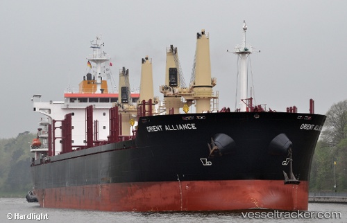
Vessel ALLIANCE IMO: 9496331, MMSI: 636019948 Bulk Carrier
Live AIS position:
UTC. 166 nm NW of Alabel),
updated 2024-10-15 10:10:41 UTC.
Find the position of the vessel ALLIANCE on the map. The latter are known coordinates and path.
marine traffic ship tracker show on live map
The current position of vessel ALLIANCE is 66.50109 lat / 119.06567 lng. Updated: 2024-10-15 10:10:41 UTCCurrently sailing under the flag of Liberia
ALLIANCE built in 2012 year
Deadweight:
33755 tDetails:
Last coordinates of the vessel:
2024-10-15 10:10:41 UTC, 66.50109, 119.06567, course: 303, speed: 4.8