 vesseltracker.com
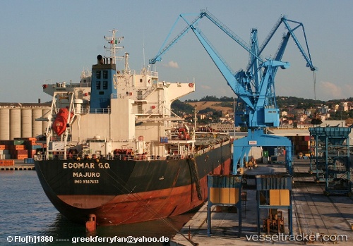
Vessel IVESTOS 7 IMO: 9387633, MMSI: 636020189 Bulk Carrier
UTC, -24.24333, -46.30333, course: -1, speed: 0
UTC, -24.24418, -46.30309, course: 182, speed: 0.2
2026-03-01 19:32:36 UTC, -24.24440, -46.30392, course: 160, speed: 0
Live AIS position:
UTC. 15 nm S of Guarujá),
updated 2026-03-01 19:32:36 UTC.
Find the position of the vessel IVESTOS 7 on the map. The latter are known coordinates and path.
marine traffic ship tracker show on live map
The current position of vessel IVESTOS 7 is -24.24440 lat / -46.30392 lng. Updated: 2026-03-01 19:32:36 UTCCurrently sailing under the flag of Liberia
IVESTOS 7 built in 2008 year
Deadweight:
75093 tDetails:
Last coordinates of the vessel:
UTC, -24.24438, -46.30383, course: 170, speed: 0.5UTC, -24.24333, -46.30333, course: -1, speed: 0
UTC, -24.24418, -46.30309, course: 182, speed: 0.2
2026-03-01 19:32:36 UTC, -24.24440, -46.30392, course: 160, speed: 0