 vesseltracker.com
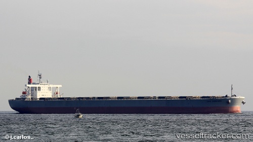
Vessel SAMC MG IMO: 9374052, MMSI: 636020253 Bulk Carrier
UTC, -34.77435, 21.43648, course: 260, speed: 13.3
UTC, -34.80658, 21.16323, course: 261, speed: 13.4
2026-02-21 18:08:09 UTC, -34.90016, 20.42081, course: 261, speed: 13.2
Live AIS position:
UTC. 21 nm E of Cape Agulhas),
updated 2026-02-21 18:08:09 UTC.
Find the position of the vessel SAMC MG on the map. The latter are known coordinates and path.
marine traffic ship tracker show on live map
The current position of vessel SAMC MG is -34.90016 lat / 20.42081 lng. Updated: 2026-02-21 18:08:09 UTCCurrently sailing under the flag of Liberia
SAMC MG built in 2006 year
Deadweight:
206180 tDetails:
Last coordinates of the vessel:
UTC, -34.70932, 21.90778, course: 260, speed: 13.4UTC, -34.77435, 21.43648, course: 260, speed: 13.3
UTC, -34.80658, 21.16323, course: 261, speed: 13.4
2026-02-21 18:08:09 UTC, -34.90016, 20.42081, course: 261, speed: 13.2