 vesseltracker.com
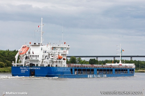
Vessel Angora 3 IMO: 9375082, MMSI: 636020313 General Cargo Ship
UTC, 45.20186, 28.85043, course: 280, speed: 0
UTC, 45.19401, 28.95417, course: 89, speed: 8
2026-01-28 12:08:38 UTC, 45.17693, 29.30180, course: 91, speed: 8.4
Live AIS position:
UTC. Near Mahmudia),
updated 2026-01-28 12:08:38 UTC.
Find the position of the vessel Angora 3 on the map. The latter are known coordinates and path.
marine traffic ship tracker show on live map
The current position of vessel Angora 3 is 45.17693 lat / 29.30180 lng. Updated: 2026-01-28 12:08:38 UTCCurrently sailing under the flag of Liberia
Details:
Last coordinates of the vessel:
UTC, 45.20190, 28.85046, course: 273, speed: 0UTC, 45.20186, 28.85043, course: 280, speed: 0
UTC, 45.19401, 28.95417, course: 89, speed: 8
2026-01-28 12:08:38 UTC, 45.17693, 29.30180, course: 91, speed: 8.4