 vesseltracker.com
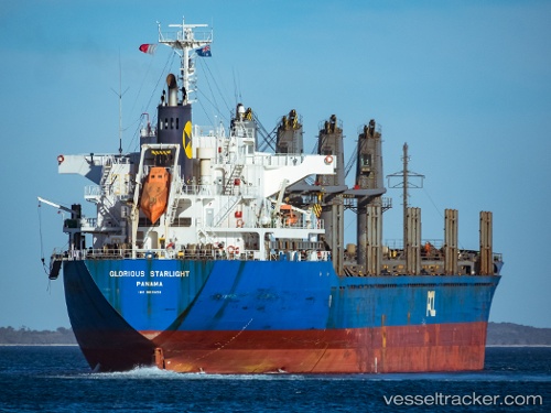
Vessel Hadar IMO: 9615028, MMSI: 636020402 Bulk Carrier
UTC, -9.89783, -15.12220, course: 239, speed: 12.7
UTC, -10.11097, -15.51768, course: 240, speed: 12.8
2026-02-07 16:29:27 UTC, -10.38583, -16.02586, course: 237, speed: 12.5
Live AIS position:
UTC. 176 nm SW of Georgetown),
updated 2026-02-07 16:29:27 UTC.
Find the position of the vessel Hadar on the map. The latter are known coordinates and path.
marine traffic ship tracker show on live map
The current position of vessel Hadar is -10.38583 lat / -16.02586 lng. Updated: 2026-02-07 16:29:27 UTCCurrently sailing under the flag of Liberia
Details:
Last coordinates of the vessel:
UTC, -9.74449, -14.83544, course: 241, speed: 12.4UTC, -9.89783, -15.12220, course: 239, speed: 12.7
UTC, -10.11097, -15.51768, course: 240, speed: 12.8
2026-02-07 16:29:27 UTC, -10.38583, -16.02586, course: 237, speed: 12.5