 vesseltracker.com
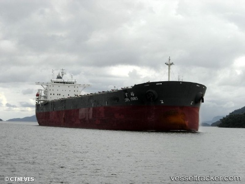
Vessel CAPE BOSS IMO: 9268796, MMSI: 636020565 Bulk Carrier
UTC, -30.81582, 37.09593, course: 59, speed: 9.1
UTC, -30.69738, 37.38467, course: 59, speed: 9.1
2026-02-26 06:57:12 UTC, -30.65433, 37.49283, course: 61, speed: 9.6
Live AIS position:
UTC. 300 nm E of Richards Bay),
updated 2026-02-26 06:57:12 UTC.
Find the position of the vessel CAPE BOSS on the map. The latter are known coordinates and path.
marine traffic ship tracker show on live map
The current position of vessel CAPE BOSS is -30.65433 lat / 37.49283 lng. Updated: 2026-02-26 06:57:12 UTCCurrently sailing under the flag of Liberia
CAPE BOSS built in 2003 year
Deadweight:
175775 tDetails:
Last coordinates of the vessel:
UTC, -30.98542, 36.62822, course: 65, speed: 9.4UTC, -30.81582, 37.09593, course: 59, speed: 9.1
UTC, -30.69738, 37.38467, course: 59, speed: 9.1
2026-02-26 06:57:12 UTC, -30.65433, 37.49283, course: 61, speed: 9.6