 vesseltracker.com
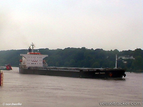
Vessel SEA GEMINI IMO: 9362217, MMSI: 636020568 Bulk Carrier
UTC, 2.35975, 101.70485, course: 129, speed: 11.9
2026-02-02 02:56:10 UTC, 2.35975, 101.70485, course: 129, speed: 11.9
Live AIS position:
UTC. 11 nm SW of PORT DICKSON),
updated 2026-02-02 02:56:10 UTC.
Find the position of the vessel SEA GEMINI on the map. The latter are known coordinates and path.
marine traffic ship tracker show on live map
The current position of vessel SEA GEMINI is 2.35975 lat / 101.70485 lng. Updated: 2026-02-02 02:56:10 UTCCurrently sailing under the flag of Liberia
SEA GEMINI built in 2006 year
Deadweight:
76596 tDetails:
Last coordinates of the vessel:
UTC, 2.35975, 101.70485, course: 129, speed: 11.9UTC, 2.35975, 101.70485, course: 129, speed: 11.9
2026-02-02 02:56:10 UTC, 2.35975, 101.70485, course: 129, speed: 11.9