 vesseltracker.com
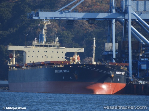
Vessel PANOPI IMO: 9554183, MMSI: 636020601 Bulk Carrier
UTC, 30.42137, 49.08037, course: -1, speed: 0
UTC, 30.42137, 49.08037, course: -1, speed: 0
2026-02-24 17:02:09 UTC, 30.42137, 49.08037, course: -1, speed: 0
Live AIS position:
UTC. Near BANDAR IMAM KHOMEINI),
updated 2026-02-24 17:02:09 UTC.
Find the position of the vessel PANOPI on the map. The latter are known coordinates and path.
marine traffic ship tracker show on live map
The current position of vessel PANOPI is 30.42137 lat / 49.08037 lng. Updated: 2026-02-24 17:02:09 UTCCurrently sailing under the flag of Liberia
PANOPI built in 2010 year
Deadweight:
88299 tDetails:
Last coordinates of the vessel:
UTC, 30.42140, 49.08037, course: 83, speed: 0UTC, 30.42137, 49.08037, course: -1, speed: 0
UTC, 30.42137, 49.08037, course: -1, speed: 0
2026-02-24 17:02:09 UTC, 30.42137, 49.08037, course: -1, speed: 0