 vesseltracker.com
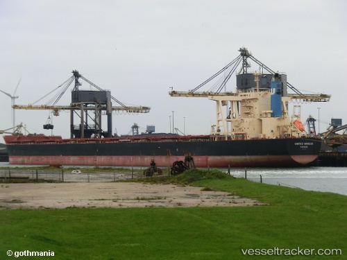
Vessel '636020735' IMO: 9574236, MMSI: 636020735
UTC, -32.57588, 33.73170, course: 253, speed: 9.9
UTC, -32.67725, 33.28774, course: 253, speed: 9.8
2026-02-16 21:47:06 UTC, -32.74982, 32.94417, course: 251, speed: 10.2
Live AIS position:
UTC. 172 nm SE of Port Edward),
updated 2026-02-16 21:47:06 UTC.
Find the position of the vessel '636020735' on the map. The latter are known coordinates and path.
marine traffic ship tracker show on live map
The current position of vessel '636020735' is -32.74982 lat / 32.94417 lng. Updated: 2026-02-16 21:47:06 UTCDetails:
Last coordinates of the vessel:
UTC, -32.49235, 34.10209, course: 253, speed: 9.9UTC, -32.57588, 33.73170, course: 253, speed: 9.9
UTC, -32.67725, 33.28774, course: 253, speed: 9.8
2026-02-16 21:47:06 UTC, -32.74982, 32.94417, course: 251, speed: 10.2