 vesseltracker.com
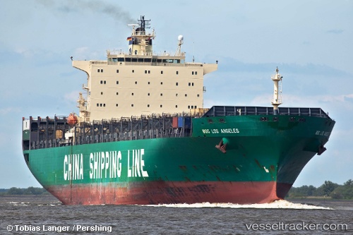
Vessel GSL TEGEA IMO: 9222986, MMSI: 636020770 Container Ship
UTC, 50.90677, -1.45757, course: -1, speed: 0
UTC, 50.90677, -1.45760, course: -1, speed: 0
2026-02-27 11:21:47 UTC, 50.90673, -1.45758, course: -1, speed: 0
Live AIS position:
UTC. Near Eling),
updated 2026-02-27 11:21:47 UTC.
Find the position of the vessel GSL TEGEA on the map. The latter are known coordinates and path.
marine traffic ship tracker show on live map
The current position of vessel GSL TEGEA is 50.90673 lat / -1.45758 lng. Updated: 2026-02-27 11:21:47 UTCCurrently sailing under the flag of Liberia
Details:
Last coordinates of the vessel:
UTC, 50.90680, -1.45772, course: -1, speed: 0UTC, 50.90677, -1.45757, course: -1, speed: 0
UTC, 50.90677, -1.45760, course: -1, speed: 0
2026-02-27 11:21:47 UTC, 50.90673, -1.45758, course: -1, speed: 0