 vesseltracker.com
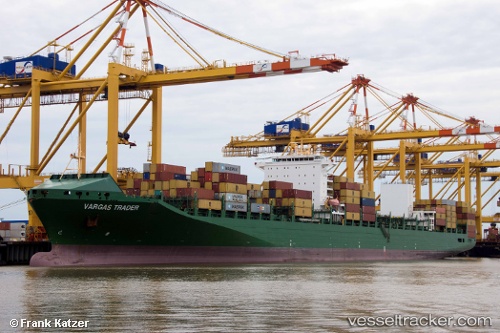
Vessel 636020985 IMO: 9437062, MMSI: 636020985
UTC, 31.20075, 32.35266, course: 193, speed: 0
UTC, 31.20066, 32.35263, course: 193, speed: 0
2026-02-20 14:38:13 UTC, 31.25309, 32.36394, course: 9, speed: 13.2
Live AIS position:
UTC. Near Port Said East),
updated 2026-02-20 14:38:13 UTC.
Find the position of the vessel 636020985 on the map. The latter are known coordinates and path.
marine traffic ship tracker show on live map
The current position of vessel 636020985 is 31.25309 lat / 32.36394 lng. Updated: 2026-02-20 14:38:13 UTCDetails:
Last coordinates of the vessel:
UTC, 31.20065, 32.35265, course: 193, speed: 0UTC, 31.20075, 32.35266, course: 193, speed: 0
UTC, 31.20066, 32.35263, course: 193, speed: 0
2026-02-20 14:38:13 UTC, 31.25309, 32.36394, course: 9, speed: 13.2