 vesseltracker.com
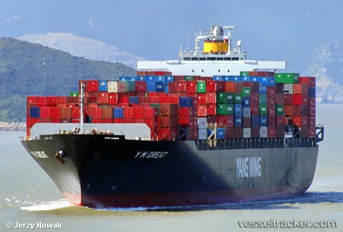
Vessel TINA I IMO: 9267156, MMSI: 636021360 Container Ship
UTC, 1.15528, 103.73282, course: 325, speed: 0.4
UTC, 1.24558, 103.65558, course: 264, speed: 5.2
2026-02-20 09:55:49 UTC, 1.24498, 103.62858, course: 271, speed: 0
Live AIS position:
UTC. Near JURONG ISLAND),
updated 2026-02-20 09:55:49 UTC.
Find the position of the vessel TINA I on the map. The latter are known coordinates and path.
marine traffic ship tracker show on live map
The current position of vessel TINA I is 1.24498 lat / 103.62858 lng. Updated: 2026-02-20 09:55:49 UTCCurrently sailing under the flag of Liberia
TINA I built in 2004 year
Deadweight:
67270 tDetails:
Last coordinates of the vessel:
UTC, 1.18580, 103.67565, course: 127, speed: 6.9UTC, 1.15528, 103.73282, course: 325, speed: 0.4
UTC, 1.24558, 103.65558, course: 264, speed: 5.2
2026-02-20 09:55:49 UTC, 1.24498, 103.62858, course: 271, speed: 0