 vesseltracker.com
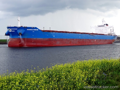
Vessel MARINE WISDOM IMO: 9606766, MMSI: 636021642 Bulk Carrier
UTC, -1.61572, 118.89178, course: 14, speed: 10.2
UTC, -1.22955, 118.99209, course: 16, speed: 10.4
2026-02-22 16:25:38 UTC, -0.91190, 119.08382, course: 12, speed: 9.8
Live AIS position:
UTC. 46 nm W of Palu),
updated 2026-02-22 16:25:38 UTC.
Find the position of the vessel MARINE WISDOM on the map. The latter are known coordinates and path.
marine traffic ship tracker show on live map
The current position of vessel MARINE WISDOM is -0.91190 lat / 119.08382 lng. Updated: 2026-02-22 16:25:38 UTCCurrently sailing under the flag of Liberia
MARINE WISDOM built in 2014 year
Deadweight:
114046 tDetails:
Last coordinates of the vessel:
UTC, -2.02714, 118.78790, course: 15, speed: 10UTC, -1.61572, 118.89178, course: 14, speed: 10.2
UTC, -1.22955, 118.99209, course: 16, speed: 10.4
2026-02-22 16:25:38 UTC, -0.91190, 119.08382, course: 12, speed: 9.8