 vesseltracker.com
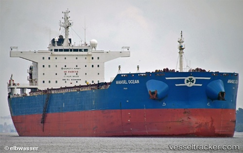
Vessel MARINE CLAUDIA IMO: 9455569, MMSI: 636021645 Bulk Carrier
UTC, 27.11975, 123.08813, course: 192, speed: 10.2
UTC, 26.89703, 123.03788, course: 212, speed: 10.9
2026-02-27 05:32:36 UTC, 26.59183, 122.92885, course: -1, speed: 10.8
Live AIS position:
UTC. 104 nm NE of Nangang),
updated 2026-02-27 05:32:36 UTC.
Find the position of the vessel MARINE CLAUDIA on the map. The latter are known coordinates and path.
marine traffic ship tracker show on live map
The current position of vessel MARINE CLAUDIA is 26.59183 lat / 122.92885 lng. Updated: 2026-02-27 05:32:36 UTCCurrently sailing under the flag of Liberia
Details:
Last coordinates of the vessel:
UTC, 27.49705, 123.15587, course: 206, speed: 9.8UTC, 27.11975, 123.08813, course: 192, speed: 10.2
UTC, 26.89703, 123.03788, course: 212, speed: 10.9
2026-02-27 05:32:36 UTC, 26.59183, 122.92885, course: -1, speed: 10.8