 vesseltracker.com
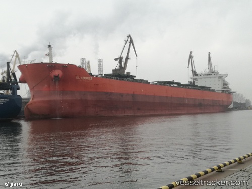
Vessel DL ADONIS IMO: 9553206, MMSI: 636021716 Bulk Carrier
UTC, 10.31077, -141.97739, course: -1, speed: 73.4
UTC, 10.31077, -141.97739, course: -1, speed: 73.4
2026-02-23 13:16:43 UTC, 10.31077, -141.97739, course: -1, speed: 73.4
Live AIS position:
UTC. 243 nm SE of Santa Rita),
updated 2026-02-23 13:16:43 UTC.
Find the position of the vessel DL ADONIS on the map. The latter are known coordinates and path.
marine traffic ship tracker show on live map
The current position of vessel DL ADONIS is 10.31077 lat / -141.97739 lng. Updated: 2026-02-23 13:16:43 UTCCurrently sailing under the flag of Liberia
DL ADONIS built in 2010 year
Deadweight:
79329 tDetails:
Last coordinates of the vessel:
UTC, -65.74104, 132.42392, course: 283, speed: 32UTC, 10.31077, -141.97739, course: -1, speed: 73.4
UTC, 10.31077, -141.97739, course: -1, speed: 73.4
2026-02-23 13:16:43 UTC, 10.31077, -141.97739, course: -1, speed: 73.4