 vesseltracker.com
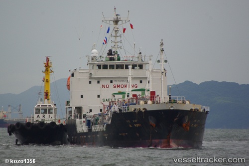
Vessel DL POPPY IMO: 9564853, MMSI: 636021804 LPG Tanker
UTC, -45.37724, -60.43368, course: 236, speed: 0.3
UTC, -45.37724, -60.43368, course: 236, speed: 0.3
UTC, -52.53184, -73.21171, course: -1, speed: 72.6
UTC, -52.53184, -73.21171, course: -1, speed: 72.6
2026-02-06 16:54:15 UTC, -52.53184, -73.21171, course: -1, speed: 72.6
Live AIS position:
UTC. 19 nm NE of Isla Guarello),
updated 2026-02-06 16:54:15 UTC.
Find the position of the vessel DL POPPY on the map. The latter are known coordinates and path.
marine traffic ship tracker show on live map
The current position of vessel DL POPPY is -52.53184 lat / -73.21171 lng. Updated: 2026-02-06 16:54:15 UTCCurrently sailing under the flag of Liberia
DL POPPY built in 2009 year
Deadweight:
3919 tDetails:
Last coordinates of the vessel:
UTC, -45.37724, -60.43368, course: 236, speed: 0.3UTC, -45.37724, -60.43368, course: 236, speed: 0.3
UTC, -45.37724, -60.43368, course: 236, speed: 0.3
UTC, -52.53184, -73.21171, course: -1, speed: 72.6
UTC, -52.53184, -73.21171, course: -1, speed: 72.6
2026-02-06 16:54:15 UTC, -52.53184, -73.21171, course: -1, speed: 72.6