 vesseltracker.com
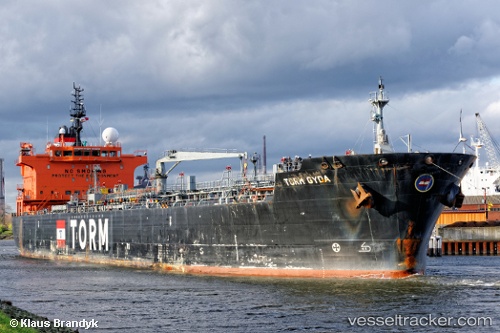
Vessel ALKEA IMO: 9425502, MMSI: 636021853 Chemical/Oil Products Tanker
UTC, 40.80833, 2.02833, course: -1, speed: 12
UTC, 40.85667, 1.76333, course: -1, speed: 12
2026-02-27 23:51:17 UTC, 41.03765, 1.25490, course: 340, speed: 8.7
Live AIS position:
UTC. Near Tarragona),
updated 2026-02-27 23:51:17 UTC.
Find the position of the vessel ALKEA on the map. The latter are known coordinates and path.
marine traffic ship tracker show on live map
The current position of vessel ALKEA is 41.03765 lat / 1.25490 lng. Updated: 2026-02-27 23:51:17 UTCCurrently sailing under the flag of Liberia
ALKEA built in 2009 year
Deadweight:
36207 tDetails:
Last coordinates of the vessel:
UTC, 40.64333, 2.86500, course: -1, speed: 12UTC, 40.80833, 2.02833, course: -1, speed: 12
UTC, 40.85667, 1.76333, course: -1, speed: 12
2026-02-27 23:51:17 UTC, 41.03765, 1.25490, course: 340, speed: 8.7