 vesseltracker.com
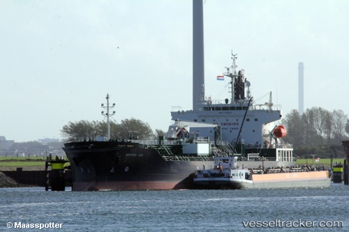
Vessel CHEM SOL IMO: 9739276, MMSI: 636022067 Tanker
UTC, 49.29690, -123.03065, course: 103, speed: 0.1
UTC, 49.29692, -123.03064, course: 103, speed: 0
2026-02-25 16:03:45 UTC, 49.29691, -123.03066, course: 103, speed: 0.1
Live AIS position:
UTC. Near North Vancouver),
updated 2026-02-25 16:03:45 UTC.
Find the position of the vessel CHEM SOL on the map. The latter are known coordinates and path.
marine traffic ship tracker show on live map
The current position of vessel CHEM SOL is 49.29691 lat / -123.03066 lng. Updated: 2026-02-25 16:03:45 UTCCurrently sailing under the flag of Liberia
Details:
Last coordinates of the vessel:
UTC, 49.29689, -123.03066, course: 103, speed: 0UTC, 49.29690, -123.03065, course: 103, speed: 0.1
UTC, 49.29692, -123.03064, course: 103, speed: 0
2026-02-25 16:03:45 UTC, 49.29691, -123.03066, course: 103, speed: 0.1