 vesseltracker.com
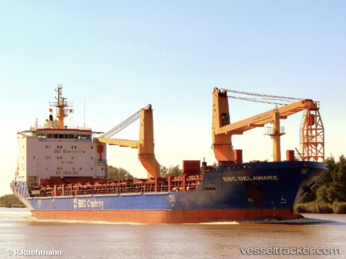
Vessel ARALIA IMO: 9357212, MMSI: 636022337 General Cargo Ship
UTC, 20.00345, 113.59130, course: 183, speed: 13.1
UTC, 19.72568, 113.56969, course: 181, speed: 14
2026-02-06 17:04:44 UTC, 19.34251, 113.32696, course: 239, speed: 13.9
Live AIS position:
UTC. 132 nm E of Honghai),
updated 2026-02-06 17:04:44 UTC.
Find the position of the vessel ARALIA on the map. The latter are known coordinates and path.
marine traffic ship tracker show on live map
The current position of vessel ARALIA is 19.34251 lat / 113.32696 lng. Updated: 2026-02-06 17:04:44 UTCCurrently sailing under the flag of Liberia
ARALIA built in 2007 year
Deadweight:
12859 tDetails:
Last coordinates of the vessel:
UTC, 20.50316, 113.65513, course: 187, speed: 12.7UTC, 20.00345, 113.59130, course: 183, speed: 13.1
UTC, 19.72568, 113.56969, course: 181, speed: 14
2026-02-06 17:04:44 UTC, 19.34251, 113.32696, course: 239, speed: 13.9