 vesseltracker.com
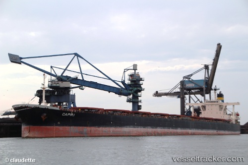
Vessel CAPE MAYA IMO: 9248526, MMSI: 636022520 Bulk Carrier
UTC, 15.05594, 59.13285, course: -1, speed: 12.9
UTC, 14.95336, 58.77676, course: 257, speed: 12.4
2026-02-28 19:11:10 UTC, 14.86599, 58.43636, course: -1, speed: 12.5
Live AIS position:
UTC. 243 nm S of Pizhou),
updated 2026-02-28 19:11:10 UTC.
Find the position of the vessel CAPE MAYA on the map. The latter are known coordinates and path.
marine traffic ship tracker show on live map
The current position of vessel CAPE MAYA is 14.86599 lat / 58.43636 lng. Updated: 2026-02-28 19:11:10 UTCCurrently sailing under the flag of Liberia
Details:
Last coordinates of the vessel:
UTC, 15.28684, 60.03409, course: 254, speed: 12.2UTC, 15.05594, 59.13285, course: -1, speed: 12.9
UTC, 14.95336, 58.77676, course: 257, speed: 12.4
2026-02-28 19:11:10 UTC, 14.86599, 58.43636, course: -1, speed: 12.5