 vesseltracker.com
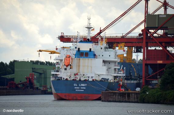
Vessel CL LINDY IMO: 9720988, MMSI: 636022646 Cargo
UTC, -25.18235, 10.33266, course: 326, speed: 11.3
UTC, -25.00426, 10.20326, course: 319, speed: 11.4
2026-02-28 22:06:26 UTC, -24.60987, 9.85569, course: 322, speed: 11.9
Live AIS position:
UTC. 274 nm W of Walvisbaai),
updated 2026-02-28 22:06:26 UTC.
Find the position of the vessel CL LINDY on the map. The latter are known coordinates and path.
marine traffic ship tracker show on live map
The current position of vessel CL LINDY is -24.60987 lat / 9.85569 lng. Updated: 2026-02-28 22:06:26 UTCCurrently sailing under the flag of Liberia
Details:
Last coordinates of the vessel:
UTC, -25.57456, 10.63321, course: 327, speed: 11.4UTC, -25.18235, 10.33266, course: 326, speed: 11.3
UTC, -25.00426, 10.20326, course: 319, speed: 11.4
2026-02-28 22:06:26 UTC, -24.60987, 9.85569, course: 322, speed: 11.9