 vesseltracker.com
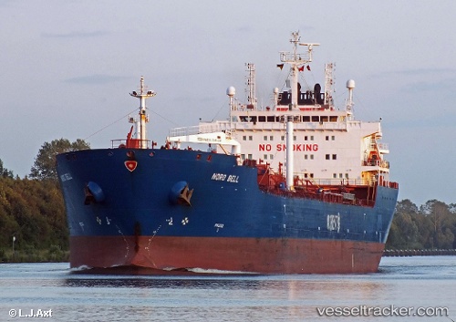
Vessel MERENGUE IMO: 9309980, MMSI: 636022648 Oil Products Tanker
UTC, 40.68362, 28.64303, course: 97, speed: 1.6
UTC, 40.75940, 28.64662, course: 99, speed: 1.5
2026-02-22 06:23:35 UTC, 40.68190, 28.57692, course: 108, speed: 2.3
Live AIS position:
UTC. 18 nm S of Ambarli),
updated 2026-02-22 06:23:35 UTC.
Find the position of the vessel MERENGUE on the map. The latter are known coordinates and path.
marine traffic ship tracker show on live map
The current position of vessel MERENGUE is 40.68190 lat / 28.57692 lng. Updated: 2026-02-22 06:23:35 UTCCurrently sailing under the flag of Liberia
Details:
Last coordinates of the vessel:
UTC, 40.71240, 28.65223, course: 77, speed: 1UTC, 40.68362, 28.64303, course: 97, speed: 1.6
UTC, 40.75940, 28.64662, course: 99, speed: 1.5
2026-02-22 06:23:35 UTC, 40.68190, 28.57692, course: 108, speed: 2.3