 vesseltracker.com
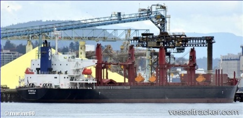
Vessel ADASTAR IMO: 9701231, MMSI: 636022718 Cargo
UTC, 3.89215, -77.06460, course: 304, speed: 0
UTC, 3.89215, -77.06457, course: 304, speed: 0
2026-03-10 07:55:40 UTC, 3.89212, -77.06456, course: 304, speed: 0
Live Vessel ADASTAR Analytics (details, animations, etc.)
Live AIS position: UTC. Near Buenaventura), updated 2026-03-10 07:55:40 UTC.Find the position of the vessel ADASTAR on the map. The latter are known coordinates and path.
marine traffic ship tracker show on live map
The current position of vessel ADASTAR is 3.89212 lat / -77.06456 lng. Updated: 2026-03-10 07:55:40 UTCCurrently sailing under the flag of Liberia
Details:
Last coordinates of the vessel:
UTC, 3.89214, -77.06459, course: 304, speed: 0UTC, 3.89215, -77.06460, course: 304, speed: 0
UTC, 3.89215, -77.06457, course: 304, speed: 0
2026-03-10 07:55:40 UTC, 3.89212, -77.06456, course: 304, speed: 0