 vesseltracker.com
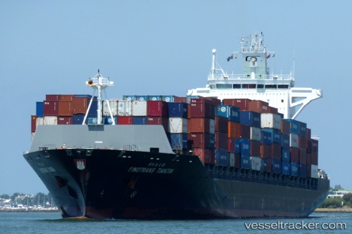
Vessel CHIQUITA EXPLORER IMO: 9304966, MMSI: 636022893 Container Ship
UTC, 38.75833, -75.02500, course: -1, speed: 7
UTC, 38.64333, -74.91333, course: -1, speed: 7
2026-02-26 21:29:26 UTC, 38.31203, -74.61735, course: 139, speed: 17.8
Live AIS position:
UTC. 22 nm E of Fenwick Island),
updated 2026-02-26 21:29:26 UTC.
Find the position of the vessel CHIQUITA EXPLORER on the map. The latter are known coordinates and path.
marine traffic ship tracker show on live map
The current position of vessel CHIQUITA EXPLORER is 38.31203 lat / -74.61735 lng. Updated: 2026-02-26 21:29:26 UTCCurrently sailing under the flag of Liberia
Details:
Last coordinates of the vessel:
UTC, 39.41407, -75.51203, course: 136, speed: 19.1UTC, 38.75833, -75.02500, course: -1, speed: 7
UTC, 38.64333, -74.91333, course: -1, speed: 7
2026-02-26 21:29:26 UTC, 38.31203, -74.61735, course: 139, speed: 17.8