 vesseltracker.com
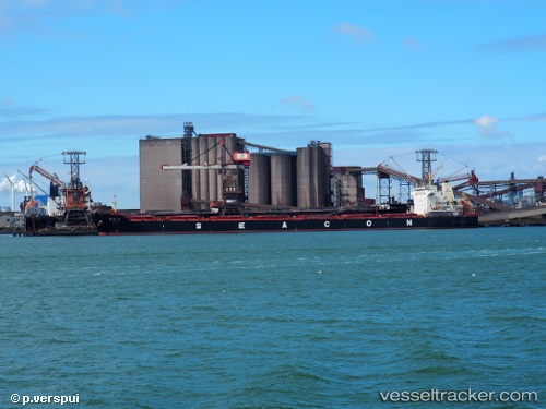
Vessel OCEAN LORRY IMO: 9649706, MMSI: 636022924 Cargo
UTC, 38.03500, -167.47166, course: -1, speed: 11
UTC, 38.01167, -166.78667, course: -1, speed: 12
2026-02-27 23:56:11 UTC, 37.99758, -166.34364, course: 91, speed: 12.5
Live AIS position:
UTC. Open sea (no nearby ports in database)),
updated 2026-02-27 23:56:11 UTC.
Find the position of the vessel OCEAN LORRY on the map. The latter are known coordinates and path.
marine traffic ship tracker show on live map
The current position of vessel OCEAN LORRY is 37.99758 lat / -166.34364 lng. Updated: 2026-02-27 23:56:11 UTCCurrently sailing under the flag of Liberia
Details:
Last coordinates of the vessel:
UTC, 38.04584, -167.82143, course: 94, speed: 11.9UTC, 38.03500, -167.47166, course: -1, speed: 11
UTC, 38.01167, -166.78667, course: -1, speed: 12
2026-02-27 23:56:11 UTC, 37.99758, -166.34364, course: 91, speed: 12.5