 vesseltracker.com
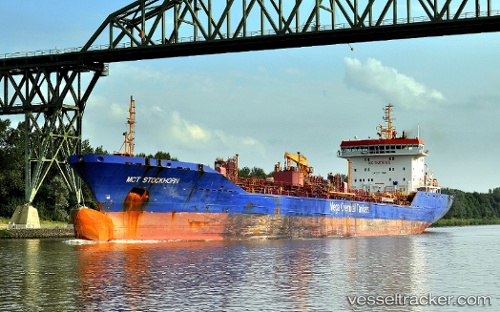
Vessel DELONIX IMO: 9298387, MMSI: 636022979 Chemical Oil Products Tanker
UTC, 57.47555, 8.55860, course: 154, speed: 0.4
UTC, 57.41331, 8.35884, course: 243, speed: 8.2
2026-02-17 18:25:19 UTC, 57.40217, 8.32895, course: 147, speed: 0.5
Live AIS position:
UTC. 19 nm NW of HANSTHOLM),
updated 2026-02-17 18:25:19 UTC.
Find the position of the vessel DELONIX on the map. The latter are known coordinates and path.
marine traffic ship tracker show on live map
The current position of vessel DELONIX is 57.40217 lat / 8.32895 lng. Updated: 2026-02-17 18:25:19 UTCCurrently sailing under the flag of Liberia
DELONIX built in 0 year
Deadweight:
0 tDetails:
Last coordinates of the vessel:
UTC, 57.48396, 8.56442, course: 156, speed: 0.3UTC, 57.47555, 8.55860, course: 154, speed: 0.4
UTC, 57.41331, 8.35884, course: 243, speed: 8.2
2026-02-17 18:25:19 UTC, 57.40217, 8.32895, course: 147, speed: 0.5