 vesseltracker.com
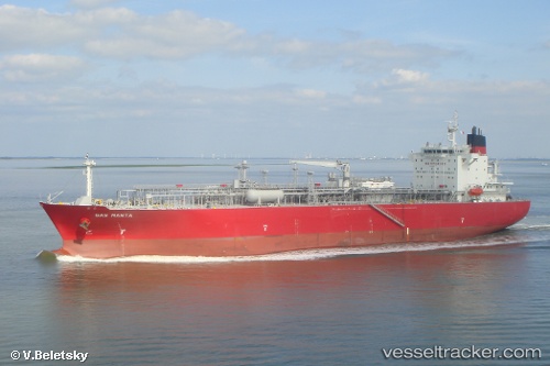
Vessel OCEANIC MOON IMO: 9447809, MMSI: 636023107 Lpg Tanker
UTC, 28.01218, -56.34537, course: 81, speed: 14
UTC, 28.07167, -55.84167, course: -1, speed: 13
2026-02-26 15:57:11 UTC, 28.11891, -55.47490, course: 83, speed: 13.6
Live AIS position:
UTC. 202 nm NE of Villa Elisa),
updated 2026-02-26 15:57:11 UTC.
Find the position of the vessel OCEANIC MOON on the map. The latter are known coordinates and path.
marine traffic ship tracker show on live map
The current position of vessel OCEANIC MOON is 28.11891 lat / -55.47490 lng. Updated: 2026-02-26 15:57:11 UTCCurrently sailing under the flag of Liberia
Details:
Last coordinates of the vessel:
UTC, 27.95095, -56.86921, course: 81, speed: 13.5UTC, 28.01218, -56.34537, course: 81, speed: 14
UTC, 28.07167, -55.84167, course: -1, speed: 13
2026-02-26 15:57:11 UTC, 28.11891, -55.47490, course: 83, speed: 13.6