 vesseltracker.com
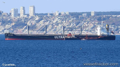
Vessel ARYA IMO: 9667435, MMSI: 636023373 Bulk Carrier
UTC, 10.96500, -57.37833, course: -1, speed: 11
UTC, 10.74481, -57.06986, course: 124, speed: 10.9
2026-02-26 23:31:45 UTC, 10.55799, -56.78868, course: 122, speed: 11
Live AIS position:
UTC. 219 nm SE of Sam Lords Castle),
updated 2026-02-26 23:31:45 UTC.
Find the position of the vessel ARYA on the map. The latter are known coordinates and path.
marine traffic ship tracker show on live map
The current position of vessel ARYA is 10.55799 lat / -56.78868 lng. Updated: 2026-02-26 23:31:45 UTCCurrently sailing under the flag of Liberia
Details:
Last coordinates of the vessel:
UTC, 11.14883, -57.63676, course: 127, speed: 11UTC, 10.96500, -57.37833, course: -1, speed: 11
UTC, 10.74481, -57.06986, course: 124, speed: 10.9
2026-02-26 23:31:45 UTC, 10.55799, -56.78868, course: 122, speed: 11