 vesseltracker.com
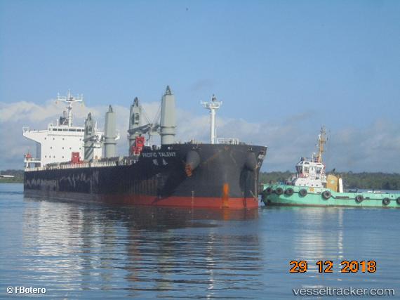
Vessel JOHN K IMO: 9626950, MMSI: 636023952 Bulk Carrier
UTC, -24.78315, 12.40498, course: 338, speed: 11.4
UTC, -24.35823, 12.20007, course: 335, speed: 10.9
2026-02-26 00:17:54 UTC, -24.01096, 12.01450, course: 336, speed: 11.2
Live AIS position:
UTC. 151 nm SW of Walvisbaai),
updated 2026-02-26 00:17:54 UTC.
Find the position of the vessel JOHN K on the map. The latter are known coordinates and path.
marine traffic ship tracker show on live map
The current position of vessel JOHN K is -24.01096 lat / 12.01450 lng. Updated: 2026-02-26 00:17:54 UTCCurrently sailing under the flag of Liberia
Details:
Last coordinates of the vessel:
UTC, -25.00087, 12.51627, course: 337, speed: 11.3UTC, -24.78315, 12.40498, course: 338, speed: 11.4
UTC, -24.35823, 12.20007, course: 335, speed: 10.9
2026-02-26 00:17:54 UTC, -24.01096, 12.01450, course: 336, speed: 11.2