 vesseltracker.com
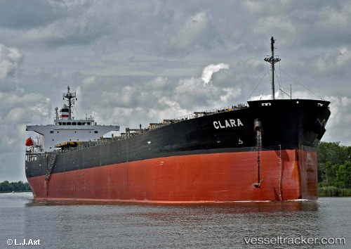
Vessel CLARA B IMO: 9304083, MMSI: 636023978 Bulk Carrier
UTC, 33.13500, -14.53500, course: -1, speed: 11
UTC, 33.02833, -14.79833, course: -1, speed: 11
2026-02-25 09:13:36 UTC, 32.87500, -15.15333, course: -1, speed: 11
Live AIS position:
UTC. 61 nm E of Porto Santo Island),
updated 2026-02-25 09:13:36 UTC.
Find the position of the vessel CLARA B on the map. The latter are known coordinates and path.
marine traffic ship tracker show on live map
The current position of vessel CLARA B is 32.87500 lat / -15.15333 lng. Updated: 2026-02-25 09:13:36 UTCCurrently sailing under the flag of Liberia
Details:
Last coordinates of the vessel:
UTC, 33.34500, -13.99500, course: -1, speed: 12UTC, 33.13500, -14.53500, course: -1, speed: 11
UTC, 33.02833, -14.79833, course: -1, speed: 11
2026-02-25 09:13:36 UTC, 32.87500, -15.15333, course: -1, speed: 11