 vesseltracker.com
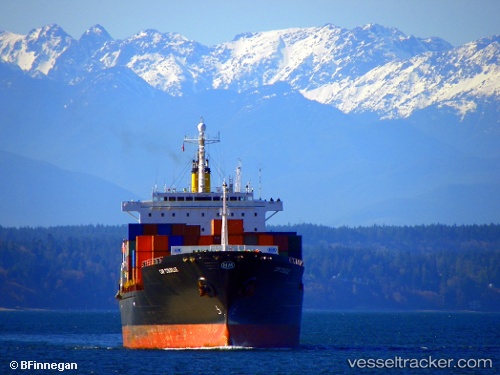
Vessel TB JINJIANG IMO: 9143116, MMSI: 636024184 Container Ship
UTC, 24.99630, 55.04894, course: 160, speed: 0
UTC, 24.99632, 55.04895, course: 161, speed: 0
2026-02-28 01:59:09 UTC, 24.99627, 55.04897, course: 161, speed: 0
Live AIS position:
UTC. Near Jebel Ali Free Zone),
updated 2026-02-28 01:59:09 UTC.
Find the position of the vessel TB JINJIANG on the map. The latter are known coordinates and path.
marine traffic ship tracker show on live map
The current position of vessel TB JINJIANG is 24.99627 lat / 55.04897 lng. Updated: 2026-02-28 01:59:09 UTCCurrently sailing under the flag of Liberia
Details:
Last coordinates of the vessel:
UTC, 24.99628, 55.04897, course: 160, speed: 0UTC, 24.99630, 55.04894, course: 160, speed: 0
UTC, 24.99632, 55.04895, course: 161, speed: 0
2026-02-28 01:59:09 UTC, 24.99627, 55.04897, course: 161, speed: 0