 vesseltracker.com
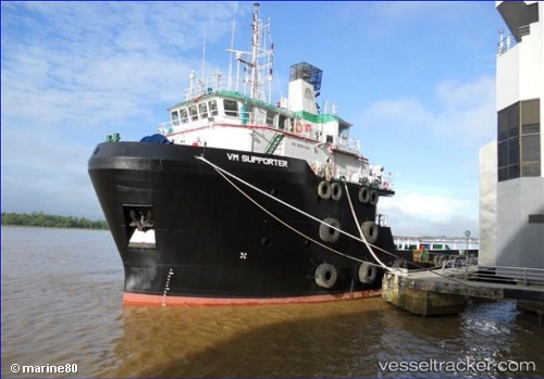
Vessel MAG SUPPORTER IMO: 9590424, MMSI: 636024561 Cargo
UTC, 26.63708, 50.27643, course: 20, speed: 0.1
UTC, 26.69283, 50.29623, course: 29, speed: 6
2026-03-01 10:16:35 UTC, 26.69893, 50.30253, course: 335, speed: 1.4
Live AIS position:
UTC. Near Ras Tannurah),
updated 2026-03-01 10:16:35 UTC.
Find the position of the vessel MAG SUPPORTER on the map. The latter are known coordinates and path.
marine traffic ship tracker show on live map
The current position of vessel MAG SUPPORTER is 26.69893 lat / 50.30253 lng. Updated: 2026-03-01 10:16:35 UTCCurrently sailing under the flag of Liberia
Details:
Last coordinates of the vessel:
UTC, 26.63912, 50.27612, course: 32, speed: 0.1UTC, 26.63708, 50.27643, course: 20, speed: 0.1
UTC, 26.69283, 50.29623, course: 29, speed: 6
2026-03-01 10:16:35 UTC, 26.69893, 50.30253, course: 335, speed: 1.4