 vesseltracker.com
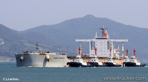
Vessel TITANSHIP IMO: 9603362, MMSI: 636024626 Bulk Carrier
UTC, -32.30833, 32.61500, course: -1, speed: 10
UTC, -32.11441, 33.14280, course: -1, speed: 10.3
2026-02-26 13:42:14 UTC, -32.01555, 33.41743, course: 69, speed: 9.9
Live AIS position:
UTC. 169 nm SE of Hibberdene),
updated 2026-02-26 13:42:14 UTC.
Find the position of the vessel TITANSHIP on the map. The latter are known coordinates and path.
marine traffic ship tracker show on live map
The current position of vessel TITANSHIP is -32.01555 lat / 33.41743 lng. Updated: 2026-02-26 13:42:14 UTCCurrently sailing under the flag of Liberia
Details:
Last coordinates of the vessel:
UTC, -32.49274, 32.10221, course: 66, speed: 11.3UTC, -32.30833, 32.61500, course: -1, speed: 10
UTC, -32.11441, 33.14280, course: -1, speed: 10.3
2026-02-26 13:42:14 UTC, -32.01555, 33.41743, course: 69, speed: 9.9