 vesseltracker.com
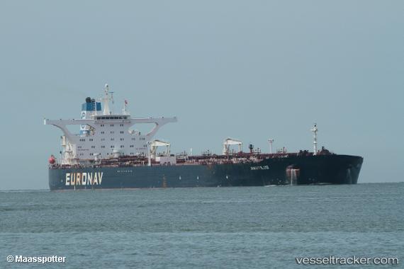
Vessel NAUTILUS I IMO: 9298765, MMSI: 636024690 Crude Oil Tanker
UTC, 36.09608, -1.39090, course: 271, speed: 12.3
UTC, 36.09890, -1.83163, course: 267, speed: 12.1
2026-02-25 15:32:50 UTC, 36.09803, -2.22147, course: 271, speed: 10.7
Live AIS position:
UTC. 44 nm SE of ROQUETAS DE MAR),
updated 2026-02-25 15:32:50 UTC.
Find the position of the vessel NAUTILUS I on the map. The latter are known coordinates and path.
marine traffic ship tracker show on live map
The current position of vessel NAUTILUS I is 36.09803 lat / -2.22147 lng. Updated: 2026-02-25 15:32:50 UTCCurrently sailing under the flag of Liberia
Details:
Last coordinates of the vessel:
UTC, 36.09811, -0.73363, course: 268, speed: 12UTC, 36.09608, -1.39090, course: 271, speed: 12.3
UTC, 36.09890, -1.83163, course: 267, speed: 12.1
2026-02-25 15:32:50 UTC, 36.09803, -2.22147, course: 271, speed: 10.7