 vesseltracker.com
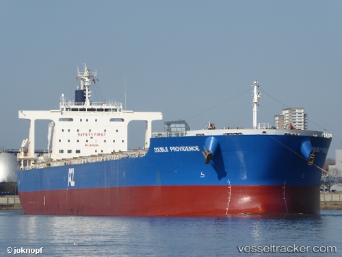
Vessel ULIVIA IMO: 9598309, MMSI: 636024941 Bulk Carrier
UTC, 26.05548, 55.91475, course: 308, speed: 7.5
UTC, 26.06993, 55.88506, course: 44, speed: 0.1
2026-03-01 03:20:50 UTC, 26.06983, 55.88513, course: 45, speed: 0.1
Live AIS position:
UTC. Near Hulaylah Terminal),
updated 2026-03-01 03:20:50 UTC.
Find the position of the vessel ULIVIA on the map. The latter are known coordinates and path.
marine traffic ship tracker show on live map
The current position of vessel ULIVIA is 26.06983 lat / 55.88513 lng. Updated: 2026-03-01 03:20:50 UTCCurrently sailing under the flag of Liberia
Details:
Last coordinates of the vessel:
UTC, 25.98062, 56.04613, course: 197, speed: 0.1UTC, 26.05548, 55.91475, course: 308, speed: 7.5
UTC, 26.06993, 55.88506, course: 44, speed: 0.1
2026-03-01 03:20:50 UTC, 26.06983, 55.88513, course: 45, speed: 0.1